Slope County, North Dakota
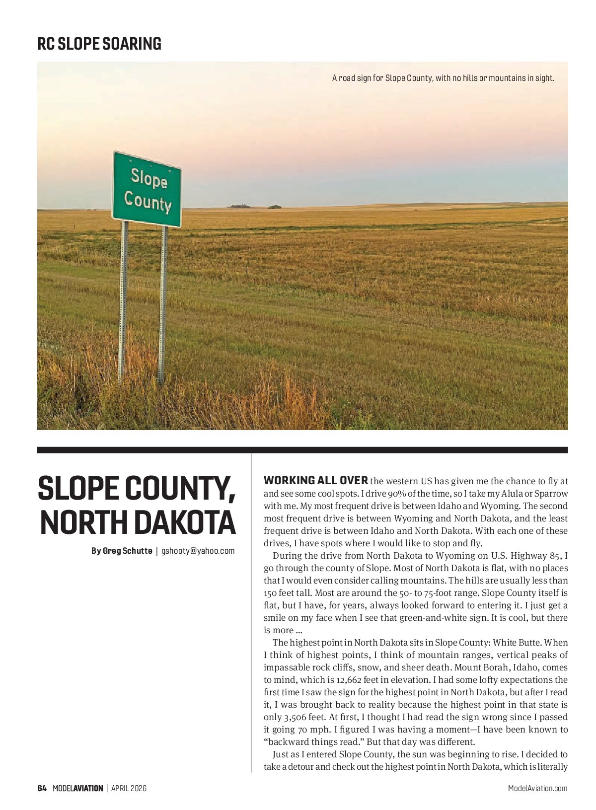
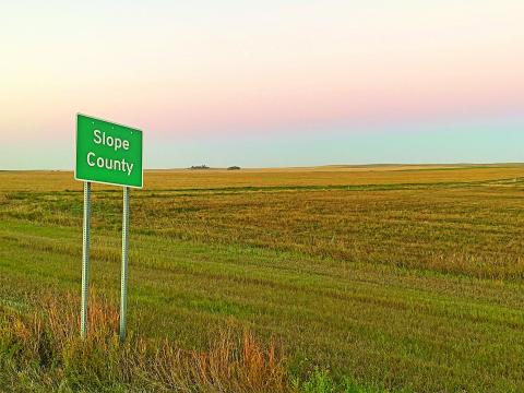
A road sign for Slope County, with no hills or mountains in sight.
Working all over the western US has given me the chance to fly at and see some cool spots. I drive 90% of the time, so I take my Alula or Sparrow with me. My most frequent drive is between Idaho and Wyoming. The second most frequent drive is between Wyoming and North Dakota, and the least frequent drive is between Idaho and North Dakota. With each one of these drives, I have spots where I would like to stop and fly.
During the drive from North Dakota to Wyoming on U.S. Highway 85, I go through the county of Slope. Most of North Dakota is flat, with no places that I would even consider calling mountains. The hills are usually less than 150 feet tall. Most are around the 50- to 75-foot range. Slope County itself is flat, but I have, for years, always looked forward to entering it. I just get a smile on my face when I see that green-and-white sign. It is cool, but there is more …
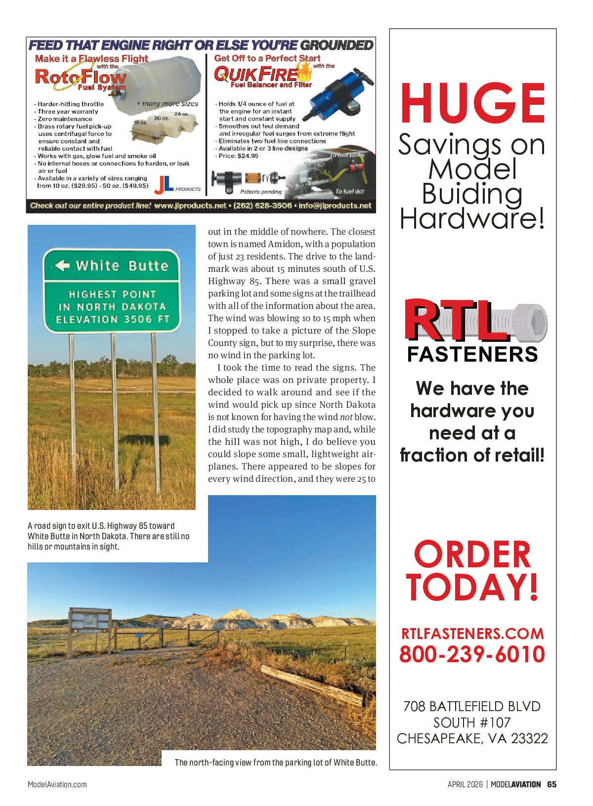
The highest point in North Dakota sits in Slope County: White Butte. When I think of highest points, I think of mountain ranges, vertical peaks of impassable rock cliffs, snow, and sheer death. Mount Borah, Idaho, comes to mind, which is 12,662 feet in elevation. I had some lofty expectations the first time I saw the sign for the highest point in North Dakota, but after I read it, I was brought back to reality because the highest point in that state is only 3,506 feet. At first, I thought I had read the sign wrong since I passed it going 70 mph. I figured I was having a moment—I have been known to “backward things read.” But that day was different.
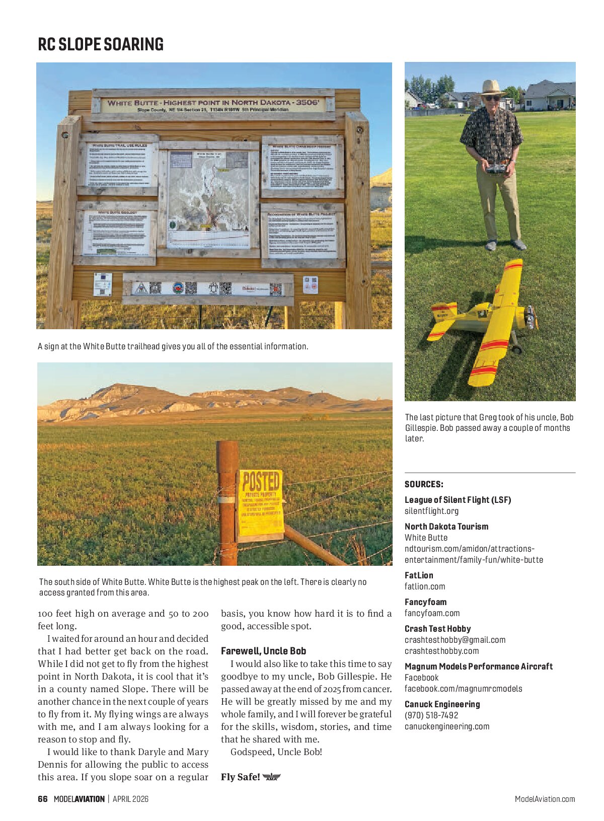
Just as I entered Slope County, the sun was beginning to rise. I decided to take a detour and check out the highest point in North Dakota, which is literally out in the middle of nowhere. The closest town is named Amidon, with a population of just 23 residents. The drive to the landmark was about 15 minutes south of U.S. Highway 85. There was a small gravel parking lot and some signs at the trailhead with all of the information about the area. The wind was blowing 10 to 15 mph when I stopped to take a picture of the Slope County sign, but to my surprise, there was no wind in the parking lot.
I took the time to read the signs. The whole place was on private property. I decided to walk around and see if the wind would pick up since North Dakota is not known for having the wind not blow. I did study the topography map and, while the hill was not high, I do believe you could slope some small, lightweight airplanes. There appeared to be slopes for every wind direction, and they were 25 to 100 feet high on average and 50 to 200 feet long.
I waited for around an hour and decided that I had better get back on the road. While I did not get to fly from the highest point in North Dakota, it is cool that it’s in a county named Slope. There will be another chance in the next couple of years to fly from it. My flying wings are always with me, and I am always looking for a reason to stop and fly.
I would like to thank Daryle and Mary Dennis for allowing the public to access this area. If you slope soar on a regular basis, you know how hard it is to find a good, accessible spot.


Farewell, Uncle Bob
I would also like to take this time to say goodbye to my uncle, Bob Gillespie. He passed away at the end of 2025 from cancer. He will be greatly missed by me and my whole family, and I will forever be grateful for the skills, wisdom, stories, and time that he shared with me.
Godspeed, Uncle Bob!
Fly Safe!


Photo captions
The north-facing view from the parking lot of White Butte.
SOURCES
- League of Silent Flight (LSF)
- silentflight.org
- North Dakota Tourism
White Butte - ndtourism.com/amidon/attractions-entertainment/family-fun/white-butte
- FatLion
- fatlion.com
- Fancyfoam
- fancyfoam.com
- Crash Test Hobby
crashtesthobby@gmail.com - crashtesthobby.com
- Magnum Models Performance Aircraft
Facebook - facebook.com/magnumrcmodels
- Canuck Engineering
(970) 518-7492 - canuckengineering.com